Association of Oregon Counties’ Integrated Road Information System
| model | Collaborative Organizational Development |
| service type | Transportation |
| country | United States |
| states | OR |
| government type | state |
| license | unknown |
| website | http://iris.oregoncounties.org/ |

Description
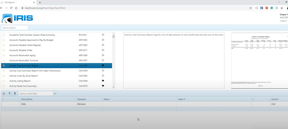
“IRIS provides Oregon’s County Public Works - Road departments with a comprehensive software suite of tools and reporting to help manage their road system and operations. […] IRIS is a cost accounting based software system of 8 modules and reports covering and tracking resources used in the maintenance and operations of the County Road Department.”
Its components include road inventory tracking, a pavement management system (originally developed for Oakland, California’s Metropolitan Transportation Commission, adapted for Oregon), vegetation management, equipment management, and accounting tools.
The IRIS project started in 1990, and the software was in use by 1993. Today they’re up to version 10, and they’re working on transition to cloud hosting. IRIS is in use by 31 of Oregon’s 36 counties, with the most populous counties instead using a proprietary system. It’s a project of the Association of Oregon Counties, which funds it via member localities’ gas tax apportionment.
This Windows-based software is maintained by a small team of county employees: one director, two developers, a database administrator, and a training/communciations specialist. Twenty years ago, when the software was being more actively developed, the team was twice as big. Today their more-limited funding effectively restricts them to an operations & maintence level of development work.
The development team works to satify the needs of their users (who are also their dues-paying members), and use those needs to lead their development work.
Washington County runs a bespoke version of IRIS. They’ve forked the source code to make modifications that they need, although they have not shared those changes back with AOC.